Landforms & Shape of the Land
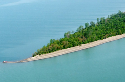
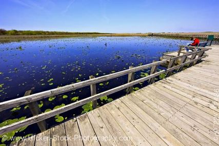
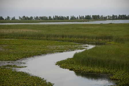
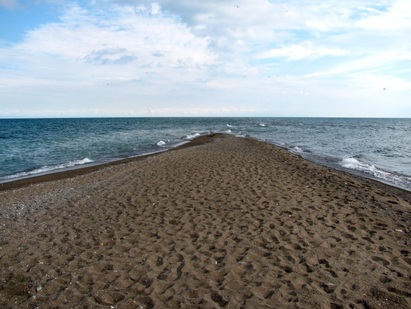
Point Pelee is a small triangular shape looking into Lake Erie. Point Pelee is part of the Great Lakes St. Lawrence Lowlands landform region. The ecozone Point Pelee is located in is Mixedwood Plains. The major body of water that surrounds Point Pelee is Lake Erie. Point Pelee is mostly a flat piece of land with only some hills. It has a 70 meter-thick hold of sand that is sitting on a submerged limestone ridge. Point Pelee is unique because of its point on one side of the island. Point Pelee has forests, marshes, beaches, and savannah. Point Pelee is flat, but enjoyable.
|
|
|
|
